Site Clearing for Cabin and Lake Estates
We clear luxury cabin and lakefront sites with attention to preserving the hardwood canopy and rock features that define Blue Ridge's mountain aesthetic, opening only what the build requires.
Land Development
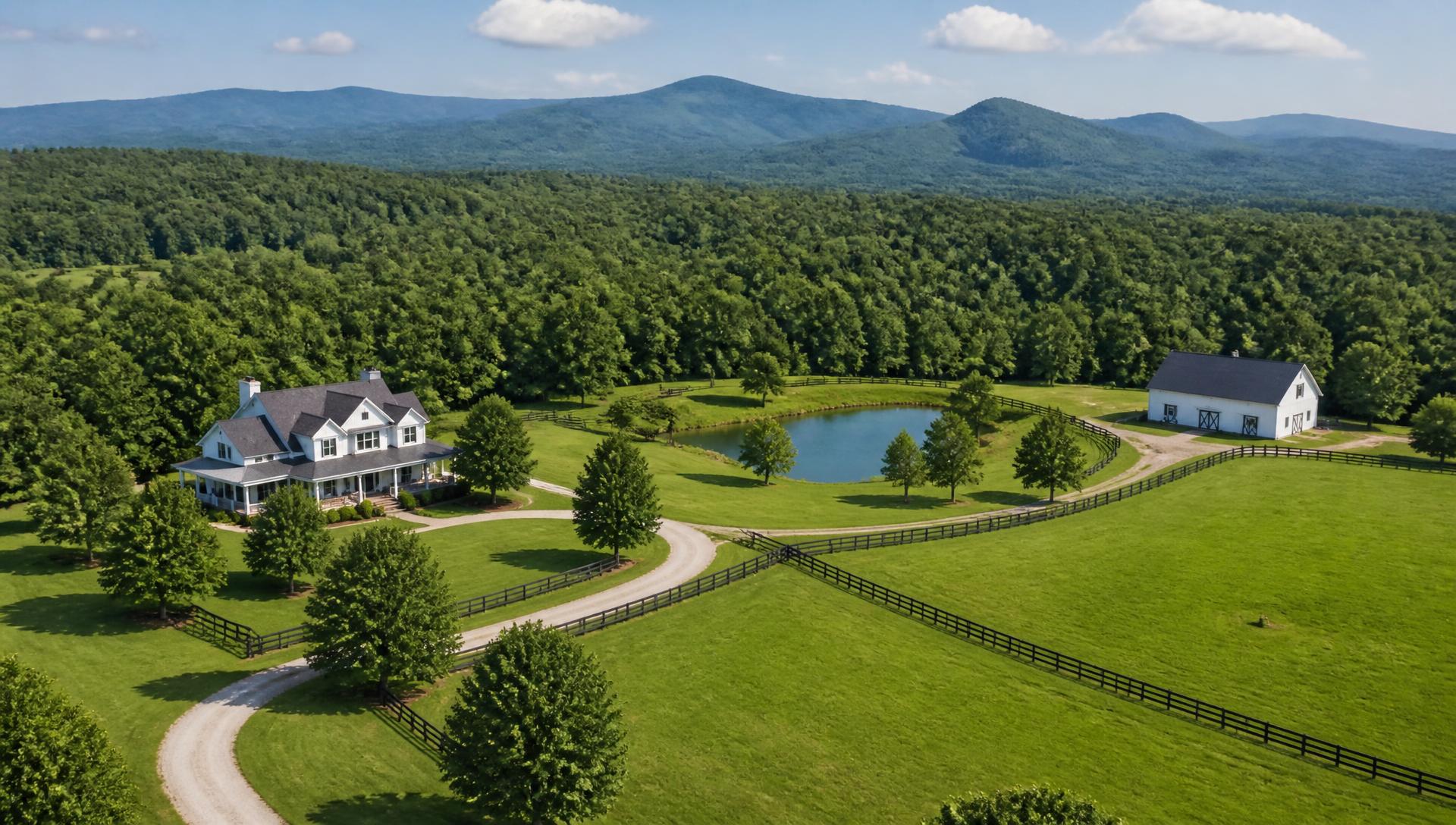
Fannin County Mountain & Lake Builders
Blue Ridge sits at the top of Georgia's mountain corridor, where Toccoa River trout water and Lake Blue Ridge shoreline meet some of the steepest buildable land in the state.
Start your property projectFannin County
Fannin County's terrain runs from the Toccoa River's flatter bottomland up to national forest ridgelines that top 3,000 feet. Blue Ridge itself sits in a valley between those extremes, which means a five-minute drive can take a project from river-bottom soil to a mountainside that needs blasting for a driveway cut.
Lake Blue Ridge, a Tennessee Valley Authority reservoir, adds another layer: shoreline parcels fall under TVA and Corps jurisdiction with specific rules about clearing, grading and dock access within the shoreline management zone. Luxury cabin buyers here expect both the view and the compliance handled correctly the first time.
Fannin County's steep-slope building requirements are some of the strictest in North Georgia, with reduced disturbance thresholds and mandatory erosion control plans on grades above roughly 25 percent. We build every Blue Ridge project plan around those standards from the first site visit.
What makes this market different
Lake Blue Ridge shoreline is federally managed. Any clearing, grading or dock work within the shoreline management zone requires separate approval, and we coordinate that permitting alongside the county process.
Ridge lots bordering the Chattahoochee National Forest often carry grades that need engineered switchback driveways and significant retaining structure just to reach a buildable pad.
The Toccoa's status as a designated trout stream brings additional state buffer protection. We design clearing plans that respect these buffers, which are often wider than standard stream setbacks.
Some Fannin County ridge lots require controlled blasting to cut a driveway through solid rock. We coordinate licensed blasting contractors as part of the overall access plan when test digs confirm it's necessary.
Featured services
We clear luxury cabin and lakefront sites with attention to preserving the hardwood canopy and rock features that define Blue Ridge's mountain aesthetic, opening only what the build requires.
Land DevelopmentWe design and build driveways that handle serious elevation change, including switchbacks and, where rock demands it, coordinated blasting to reach a ridge-top home site.
Driveways & AccessWe build erosion control and permanent drainage systems that meet the elevated buffer standards tied to the Toccoa's trout stream designation, protecting water quality through and after construction.
Drainage & ErosionMountain cabin sites here frequently need substantial retaining structure to create a level pad. We build walls that hold real elevation change and complement the natural stone found on-site.
Retaining WallsBlue Ridge properties often combine long mountain views with lake or river access. We design decks, fire features and outdoor kitchens to make the most of whichever view dominates the site.
Outdoor LivingWe coordinate home site, driveway, drainage and, where applicable, dock access into one plan that satisfies both county and TVA requirements without redesign later.
Property PlanningFrom equipment sheds to guest cabins, we locate outbuildings on the most stable, accessible ground available on a steep or shoreline tract.
Barns & OutbuildingsWe install fencing designed to hold up on steep, rocky ground bordering national forest, often factoring in wildlife movement and property line surveys tied to federal land.
Fencing & EntriesFlatter bottomland near the Toccoa supports limited pasture and hobby-farm use, and we build fencing and drainage suited to that valley-floor ground.
EquestrianProperty types
Waterfront parcels subject to TVA shoreline management rules, developed with compliant clearing and dock access.
High-elevation home sites bordering the national forest, built around engineered access and retaining structure.
Bottomland and riverbank tracts developed with trout stream buffer compliance built into the site plan.
Developments with shared infrastructure requiring coordinated driveway, drainage and utility planning.
Why owners choose us
We walk the land with you, read the topography and water, and separate what the site needs from what it would merely be nice to have.
Access, drainage, building envelopes and structures get planned together, with a phasing order that protects the budget.
Drawn plans for grading, walls, fencing, barns and landscape so every trade builds from the same document.
One crew and one point of contact, working the plan in the sequence that keeps finished work from being torn back out.
We walk the property after the first heavy rain, confirm everything drains and functions, and hand over a maintenance plan.
Featured work
Field notes
On acreage, outdoor living isn't a patio behind the house. It's choosing which part of the property to make habitable — and building the ground under it properly.
ReadStructuresA leaning wall is almost never a block problem. It's water pressure behind a wall that had nowhere to drain — and it was decided the day the base was cut.
ReadPlanningYou don't have to build it all at once. You do have to build it in the right order — or year one gets torn out to make room for year four.
ReadQuestions
Answers specific to this market. If yours isn't here, call 678-578-8114.
Shoreline parcels fall under TVA jurisdiction in addition to Fannin County rules. Clearing, grading and dock construction within the shoreline management zone need separate approval, which we coordinate as part of the project.
It depends on what a test dig or geotechnical review finds. Some Fannin County ridge lots have solid rock close to grade that requires controlled blasting; others can be cut with standard excavation equipment.
Designated trout streams generally carry wider buffer protections than standard waterways. We confirm the exact buffer distance for your parcel before finalizing any clearing plan near the river.
Grades above roughly 25 percent generally require a more detailed erosion control plan and closer county review. We calculate your site's slope early so you know what level of permitting to expect.
Dock permitting is handled through TVA and, in some cases, the county. We can guide you through what's allowed for your specific shoreline segment and coordinate the application.
On a steep ridge lot with rock, plan on six to twelve weeks depending on how much excavation and retaining wall work the grade requires.
It varies significantly by elevation and bedrock fracturing. We coordinate with drillers on siting, but recommend confirming yield before committing to a specific home site on a ridge parcel.
Yes, where they're outside the building envelope and driveway path. Most Blue Ridge buyers want the hardwood canopy kept intact around the cleared home site for privacy and shade.
Rock excavation and retaining wall requirements typically drive cost more than raw acreage. We scope both during the site walk so estimates reflect the actual terrain, not an average.
Yes, we install and maintain sediment barriers and drainage structures through every phase and stay in contact with county inspectors so the project isn't slowed by compliance issues.
Yes, this split terrain is common along the Toccoa. We plan separate approaches for the buffer-protected bottomland and the steeper rock sections rather than treating the whole tract the same way.
Nearby areas we serve
Start here
Tell us about your Blue Ridge property. We'll come back with what the site needs, what order to do it in, and what it's likely to cost.