Buying land is exciting. It's also one of the easiest places to make an expensive mistake. Whether you're looking at raw land, acreage with an older farmhouse, a lot with city water and power at the road, or a mountain parcel with no septic, no well and no driveway, the questions are the same: *What exactly am I buying, what can I legally build, and what will it cost to make this land usable?* At John Franklin Land Group we clear, grade, drain and build on land across Cherokee, Forsyth, Fulton, Pickens, Gilmer, Fannin, Dawson and Lumpkin County every week, and we see the surprises that come up after closing. This guide walks first-time buyers through land surveys, plats, county property records, septic systems, Environmental Health, building permits, utilities, access and site engineering, so you can buy with your eyes open.
Start Here: Know What Kind of Property You're Buying
Every property falls into one of a few categories, and each comes with its own homework. Before you fall in love with a view, figure out which one you're looking at:
- Raw land (unimproved land). No house, no septic, no well, often no driveway or power. The most flexible, but also the most unknowns. You're paying for potential, and you need to confirm that potential exists.
- Land with an existing house. A home sits on the property, but the septic, well, outbuildings and additions may be decades old. You're buying everything that came before you, including what was never permitted.
- Land with structures but no permitted dwelling. Barns, sheds, cabins or a "camp house" built years ago. Some may be legal agricultural buildings; others may not be recognized by the county at all.
- Land with utilities at the road. City or county water, electric and sometimes natural gas or sewer run along the frontage. This can save tens of thousands of dollars, but "at the road" isn't the same as "connected to your build site."
Step 1: Pull the County Property Records
Every county in Georgia keeps public records you can search before you ever make an offer. Most of this is free online. Here's what to look up and where:
- Tax assessor (qPublic or the county GIS map). Shows the parcel ID, owner, acreage, assessed value, zoning in many counties, and the improvements the county knows about. If you see a barn on the land but no building on the tax card, ask why.
- County GIS / parcel map. Lets you view parcel lines, aerial imagery, topography (contour lines), floodplain, streams and sometimes wetlands. Remember: GIS lines are approximate and are not a survey.
- Clerk of Superior Court (deed and plat records). Search the deed to see how the property is legally described, plus any recorded plats, easements, right-of-way agreements, liens and restrictive covenants. Georgia's GSCCCA online system lets you search deed and plat books statewide.
- Planning and zoning. Confirms the zoning district (agricultural, residential, etc.), minimum lot size, road frontage requirements, building setbacks and whether you can keep livestock or build accessory dwellings.
- Building and permitting department. Ask for the permit history on the address. This tells you whether the house, additions, garage or pool were permitted and inspected.
- Environmental Health (part of the county health department). Ask for septic permit records, the system's location drawing (if one exists) and any soil evaluations on file.
- HOA or subdivision covenants. Even rural tracts can have recorded restrictions on fences, outbuildings, minimum home size or animals.
North Georgia Counties We Work In, and Why Each One Is Different
Rules and processes vary from county to county, and sometimes from city to county inside the same county. A few examples of what buyers should expect:
- Cherokee County (Canton, Woodstock, Ball Ground, Waleska). Fast-growing, with a mix of subdivisions and agricultural tracts. Expect careful review of land disturbance, stormwater and road frontage. Learn more on our Canton and Ball Ground pages.
- Forsyth County (Cumming and north Forsyth). Strict development standards, active stream buffer enforcement and plenty of acreage being split into smaller tracts. See our Cumming page.
- North Fulton (Milton, Alpharetta, Roswell). Cities like Milton have their own planning, tree and equestrian-friendly rules on top of county requirements. See Milton.
- Pickens County (Jasper, Talking Rock). Rolling and mountain terrain, many properties on septic and private wells, and a lot of older homesteads.
- Gilmer and Fannin County (Ellijay, Blue Ridge). Steep mountain lots, long gravel drives, rock, and slope-related septic and access challenges are common.
- Dawson and Lumpkin County (Dawsonville, Dahlonega). Popular for acreage and farms, with similar septic, slope and access considerations.
Step 2: Understand Surveys, Plats and Legal Descriptions
This is the part most new buyers find confusing, so let's define the terms you'll hear from your realtor, attorney and surveyor.
- Legal description. The written description of the property in the deed. It may use metes and bounds (bearings and distances from a starting point), a reference to a recorded plat, or land lot and district numbers, which Georgia uses instead of the township system.
- Plat. A map of the property, drawn by a licensed surveyor and recorded with the county. It shows boundaries, lot lines, easements and sometimes setbacks. An old plat may be decades out of date.
- Boundary survey. A licensed Georgia Registered Land Surveyor (RLS) researches the deed, locates or sets property corners (iron pins), measures the lines and shows what's actually on the ground: fences, driveways, buildings and any encroachments across the line.
- Topographic survey (topo survey). Maps the elevations and contours of the land, plus features like trees, streams, utilities and existing structures. This is what an engineer and grading contractor need to plan cut and fill, drainage and driveways.
- ALTA/NSPS survey. A highly detailed survey standard typically used for commercial properties and lenders. Most residential buyers won't need one.
- Mortgage inspection or "survey waiver." Some lenders accept less than a full survey. That protects the lender, not you. If you're buying land to build on, a real boundary survey is worth it.
- Encroachment. Something that crosses the property line, like a neighbor's fence, shed or driveway. A survey is how you find it before it becomes your problem.
- Easement and right-of-way. A legal right for someone else to use part of the land: a power line, a shared driveway, a sewer line, or a road right-of-way that's wider than the pavement.
- Flood zone determination. Whether any part of the property sits in a FEMA Special Flood Hazard Area, which affects where you can build and what insurance costs.
- Subdivision or lot split. Dividing a tract into smaller parcels usually requires a new recorded plat approved by the county, and the new lots must meet zoning minimums.
Do You Really Need a Survey When Buying Land?
In our experience, yes, especially on rural acreage. GIS maps can be off by dozens of feet. Old fences rarely follow the true line. Listings often round acreage. We've seen buyers discover after closing that their planned barn site was partly on the neighbor's land, that the driveway crossed someone else's parcel, or that a stream buffer swallowed half the usable building area.
A boundary survey tells you exactly what you own. A topographic survey tells you what you can realistically do with it. Ordering one or both during your due diligence period is one of the best investments a land buyer can make.
Step 3: Septic, Perc Tests and Environmental Health
Outside of city sewer areas, most North Georgia homes use an on-site sewage management system, commonly called a septic system. In Georgia, septic permits are handled by your county Environmental Health office, which operates under the Georgia Department of Public Health. If there is no sewer available, you generally cannot get a building permit for a home without an approved septic permit. That makes septic one of the first things to confirm.
Here's how the process typically works and the words you'll hear:
- Soil evaluation (often still called a "perc test"). A soil scientist evaluates the soil to determine whether it can absorb and treat wastewater. Georgia relies on soil classifications rather than the old-style percolation hole test alone.
- Level 3 soil report. A detailed soil report prepared by a qualified soil classifier, often required by Environmental Health for new systems.
- Septic permit application. Submitted with a site plan showing the house, well, driveway, drain field location and setbacks. Environmental Health reviews it and issues a permit if the site qualifies.
- Drain field (absorption field). The trenches where treated wastewater goes into the soil. It needs suitable soil, adequate area and proper distance from wells, streams, property lines and steep slopes.
- Repair area / reserve area. Many counties want space set aside for a future replacement drain field.
- Alternative systems. When soils are poor or slopes are steep, you may need a pump system, drip system or another engineered design, which can cost significantly more.
- Existing septic. On a property with a house, ask for the septic permit and as-built drawing. Have the tank pumped and inspected by a licensed septic professional before closing. An older home may have a system that was never permitted, is undersized or has failed.
No Septic vs. Having a Septic: What It Means for Your Purchase
If the property has no septic, your purchase should ideally be contingent on a successful soil evaluation and septic approval. Without it, you may be buying land you can't put a house on. Don't take a seller's word that "it perked years ago." Soil reports can age out, rules change and the approved area may not fit your plans.
If the property already has a septic, you still need to know its size (number of bedrooms it's permitted for), location, condition and age. Adding bedrooms, building a guest house or putting a barn with a bathroom on the property may require a larger system. And you'll want to keep heavy equipment, driveways and future structures off the drain field, which is something we plan around on every grading job.
Step 4: Old Houses and Structures That Were Never Permitted
Across North Georgia there are farmhouses, cabins, barns, additions and garage apartments that were built long before modern permitting, or simply built without one. Buyers are often told "it's grandfathered." Sometimes that's true. Sometimes it isn't. Here's what to understand:
- Legal nonconforming (grandfathered) structures. A building that was legal when built but doesn't meet today's rules may be allowed to remain. Major renovation, expansion or a change of use can trigger current code requirements.
- Unpermitted structures. Built without required permits. The county may not recognize it as a dwelling, it may not be insurable or financeable, and you could be required to permit, upgrade or remove it.
- Agricultural buildings. Georgia gives certain exemptions for qualifying farm buildings, but a barn used as living space is a different story.
- Tax card vs. reality. Compare what's on the property with what the tax assessor and permit office show. Gaps are your list of questions.
- Lender and insurance issues. Many lenders and insurers won't cover an unpermitted dwelling. Find out before you close, not after.
- Costs to legalize. Bringing a structure into compliance may require an engineer's letter, inspections, electrical or plumbing upgrades, or a new septic permit.
Step 5: Utilities — Water, Electric, Internet and Gas
Utilities can make or break a land budget. The question isn't just whether service exists, it's how far it is from where you want to build and who pays to bring it there.
- Public water. Call the county or city water authority to confirm a water main runs along the frontage, the tap fee and meter cost, and whether you need a line extension. Public water also helps with fire protection and septic setbacks.
- Private well. No public water means drilling a well. Depth and cost vary. Environmental Health typically permits and sets setbacks for wells, and they must be kept away from the septic drain field.
- Electric. North Georgia properties are served by providers like Georgia Power or electric membership corporations (EMCs) such as Sawnee EMC, Amicalola EMC and North Georgia EMC. Ask about the cost of extending lines and whether service runs overhead or underground. Long runs can be expensive.
- Internet. Rural fiber is expanding but not everywhere. If you work from home, confirm service before you buy.
- Natural gas or propane. Many rural homes rely on propane tanks, which need placement and access.
- Sewer. If public sewer is available, you may be required to connect. Ask about tap fees and any pump requirements.
Step 6: Road Frontage, Access and Heavy Equipment
Access is one of the most overlooked parts of buying land. You need legal access (the right to get to your property) and physical access (a drivable route that can handle trucks and equipment).
- Road frontage. Most counties require a minimum amount of frontage on a public road for a buildable lot. Landlocked parcels can be extremely difficult to build on.
- Access easements and shared drives. If you reach the land over a neighbor's property, make sure there's a recorded easement and a maintenance agreement.
- Driveway and curb-cut permits. Connecting a new driveway to a county road or GDOT state highway usually needs a permit, with rules on sight distance and culverts.
- Steep or long driveways. Fire trucks, concrete trucks, well rigs and delivery trucks all need a stable, reasonably graded path. A steep, washed-out drive can stop a project before it starts.
- Heavy equipment access. Excavators, dozers, skid steers, dump trucks and lowboy trailers need room to unload and turn around. Tight gates, soft ground, low power lines and bridges all matter.
- Stream crossings. Crossing a creek to reach the build site may require culverts, permits and engineering.
Step 7: When to Bring in an Engineer on Steep, Unlevel Land
North Georgia is beautiful because it's hilly, and that's exactly why so many lots need more than a bulldozer. If your goal is to flatten a hillside for a house pad, barn, arena, pasture, pool or backyard, a licensed professional engineer (PE) should usually be part of the plan.
An engineer, working from a topographic survey, can design a grading plan that balances cut and fill, specifies compaction requirements, routes stormwater safely, sizes retaining walls, designs erosion and sediment control measures and confirms slopes are stable. On many projects the county requires engineered plans for a land disturbance permit.
- Land disturbance permits (LDP). Georgia's Erosion and Sedimentation Act sets rules for disturbing soil. Larger disturbed areas and work near state waters typically require permits and an erosion control plan.
- Stream buffers. Georgia generally protects a buffer along state waters, and many counties add wider local buffers. You usually can't clear or grade inside them without approval.
- Wetlands and floodplain. Building in these areas may require federal, state or local approval, or may not be allowed.
- Retaining walls. Taller walls often require engineered design. Learn more in our retaining walls resources.
- Rock. North Georgia has a lot of it. Rock can add significant cost if it needs to be broken or hauled.
- Fill dirt. Imported fill must be clean and properly compacted, especially under structures.
- Geotechnical investigation. For large structures or questionable soils, a geotechnical engineer may test soil bearing capacity.
What New Land Buyers Should Do
- Make your offer contingent on due diligence: survey, soil evaluation/septic approval, zoning confirmation and access.
- Pull the deed, plat, tax card and permit history before you commit.
- Order a boundary survey, and a topographic survey if you plan to grade or build.
- Call Environmental Health about septic and well records or requirements.
- Call the planning and zoning office with your intended use: home, barn, livestock, guest house, business.
- Confirm utilities and costs with each provider in writing.
- Walk the land after heavy rain to see where water goes.
- Get a site visit from a contractor who builds on land, so you understand clearing, grading, driveway and drainage costs before closing.
- Hire a real estate attorney to handle title, closing and easement questions.
What New Land Buyers Shouldn't Do
- Don't rely on GIS maps or old fence lines for your boundaries.
- Don't assume a property will perc because a neighbor has a septic.
- Don't assume an old house or cabin is legal because it's been there for years.
- Don't clear or grade before closing, and don't start work without checking permits and buffers.
- Don't skip title insurance or a title search.
- Don't underestimate site work. On raw land, clearing, grading, driveway, utilities, septic and well can rival the cost of the land itself.
- Don't sign a contract without an attorney's review if you're unsure of the terms.
Common Costly Mistakes We See After Closing
We get calls every month from new owners who wish they'd checked one more thing. The most common surprises: a septic site that won't fit the planned house, a driveway too steep for concrete trucks, a stream buffer cutting through the build area, unexpected rock, power lines that cost far more to extend than expected, neighbor encroachments, and unpermitted additions that stall a renovation or sale. Almost all of them could have been caught with a survey, a few phone calls to the county and a site walk with an experienced land contractor.
Why Good Records and a Good Plan Protect Your Investment
If there's one lesson we'd share with every land buyer, it's this: good records and a good plan are worth more than almost any shortcut. The families who have the smoothest projects are the ones who know exactly what they own, what's been permitted and what they want to build, in what order.
Good records protect you when you build, refinance, insure, sell or pass the land to the next generation. Keep a dedicated folder, paper and digital, for everything tied to your property:
- Deed, title policy and closing documents.
- Boundary and topographic surveys, and recorded plats.
- Septic permit, soil report, as-built drawing and pumping records.
- Well permit, water test results and pump service history.
- Building, land disturbance and driveway permits, with final inspection approvals.
- Easements, HOA covenants and any agreements with neighbors.
- Engineering plans, grading plans and drainage designs.
- Utility locations: where water lines, power, propane and septic lines run, ideally marked on a site plan.
- Contractor invoices, warranties and photos taken before, during and after each project.
Build a Land Plan Before You Build Anything
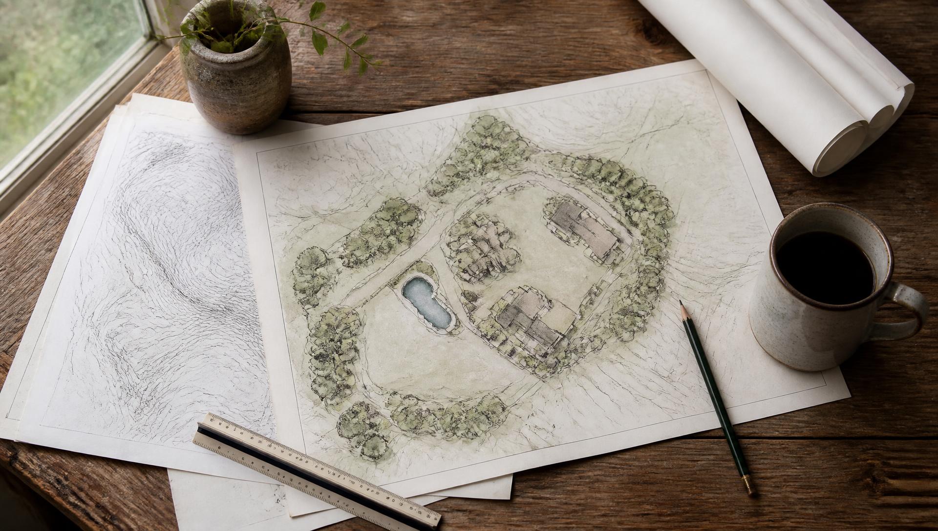
A good plan keeps you from paying twice. Without one, it's common to put a driveway where the barn should go, build a shed on top of the future drain field, or grade a pasture that later needs to be re-cut for a house pad. A property master plan lays out the whole vision first, then builds it in sensible phases your budget can support.
A strong land plan answers questions like: Where does the house, barn, garden, pasture and arena go? Where will the driveway, utilities and septic run? Where does stormwater flow, and how will it be controlled? What gets built first, second and five years from now? Starting with a survey, an engineer's input where needed and a clear site plan means every dollar you spend moves the property forward instead of undoing earlier work.
When it's time to sell or hand the land down, a property with complete records and a documented plan is easier to value, finance and trust. Buyers, lenders and appraisers all respond to clear paperwork. It's one of the simplest ways to protect the long-term value of your land.
How John Franklin Land Group Helps Land Buyers
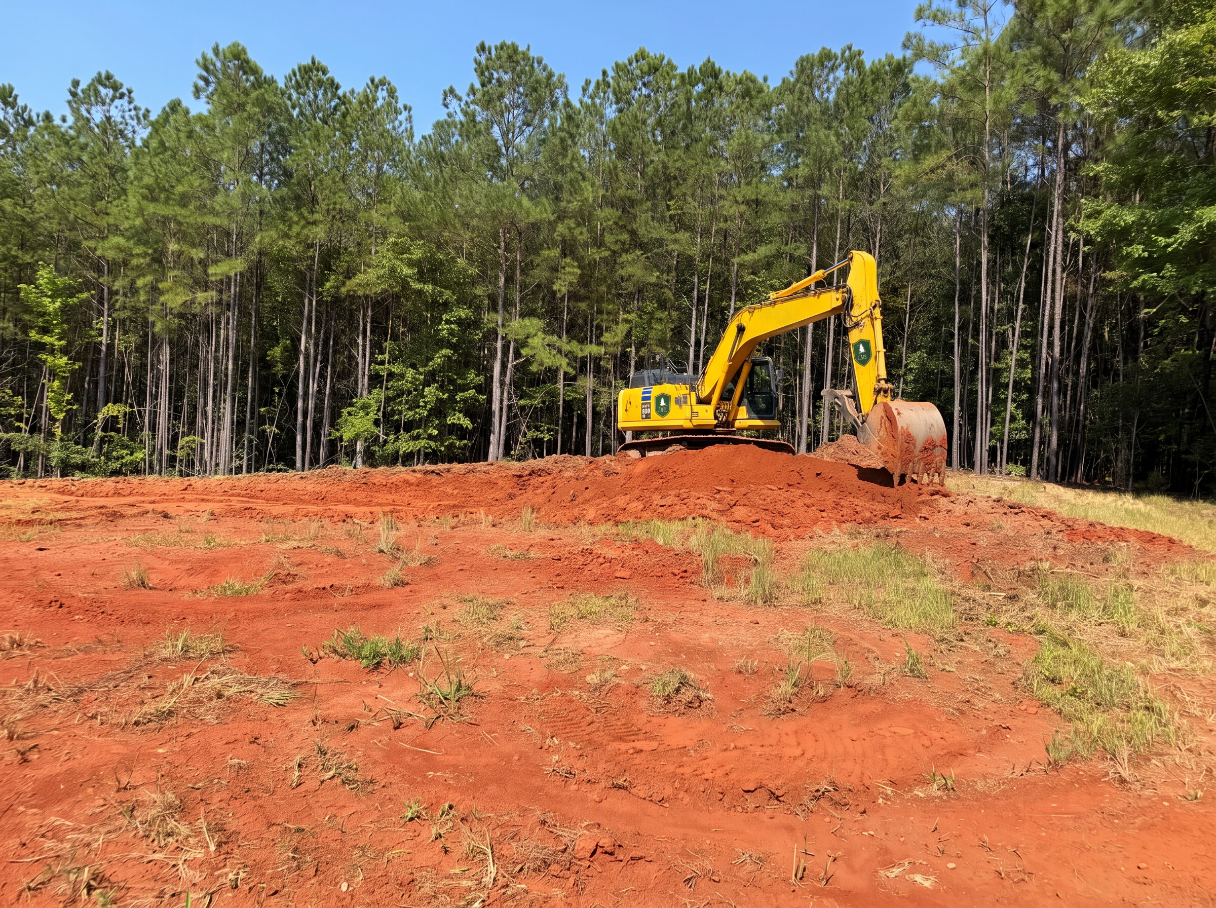
We aren't real estate agents, but we are the people who turn land into something usable. We can coordinate boundary surveys and topographic surveys through the licensed Georgia surveyors we work with, and on projects that need it we work alongside licensed professional engineers for grading, drainage and site plans. Then our crews handle the work: land clearing, land development and site prep, driveways and access, drainage and erosion control, retaining walls, fencing and barns and equestrian facilities.
Before you buy, we can walk the property with you and give a realistic picture of what it will take to build: where a house pad, barn or pasture fits, what grading is likely, how equipment will get in and where water wants to go. Many buyers also use our 3D design and renderings to visualize the finished property and plan phases.
If you're relocating, read our guide on families moving to North Georgia to build ranch-style properties and our article on the John Franklin way of life. We serve Milton, Alpharetta, Cumming, Canton, Woodstock, Ball Ground, Jasper, Ellijay, Blue Ridge, Marietta, Buckhead and all of North Metro Atlanta and North Georgia.
Important Disclaimer
*John Franklin Land Group is a land development and construction company. We are not licensed real estate agents, brokers, real estate attorneys, surveyors or engineers, and this article is general educational information, not legal, real estate, surveying, engineering or financial advice. Surveys and engineering are performed by independent licensed professionals. Rules, fees and requirements change and vary by county and city. Always confirm details with your realtor, real estate attorney, licensed surveyor, licensed engineer, lender, title company and all applicable local, county and state government agencies, including planning and zoning, building permits and Environmental Health, before making any purchase or construction decision.*
Looking at a property and not sure what it will take? Schedule a site visit and we'll help you understand the land before you buy, or contact us to coordinate a survey.