
Ellijay, Georgia
Drainage & Erosion in Ellijay, Georgia
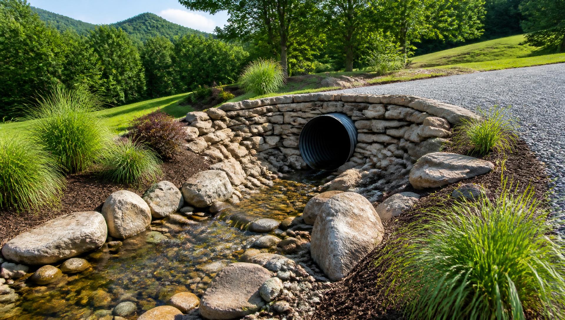
Given the downstream connection to Carters Lake, we design drainage systems that hold sediment on-site through both construction and the life of the finished property.
Start your property projectDrainage & Erosion Control in North Georgia
Erosion Control for the Coosawattee Watershed
Gilmer County's identity runs through its apple orchards, but the land itself splits into two very different worlds. The valley floor along the Coosawattee River and Cartecay River grows some of the best orchard and pasture ground in the region. Climb a few hundred feet toward the Rich Mountain or Fort Mountain ranges, and you're in true mountain-cabin terrain with grades most flatland contractors won't touch.
Adding another load of gravel to a washing driveway is a subscription, not a repair. Water is moving across your property along a route it chose. Our job is to give it a better one — sized correctly, armored where it needs to be, and invisible the rest of the year.
Full Drainage & Erosion serviceWhat we see locally
- Gravel drives that rut and wash after every heavy rain
- Standing water and soft ground near the house or barn
- Gullies cutting through pasture and hillsides
- Undersized or crushed culverts backing water up
Scope of work
How the work runs on a Ellijay property
Watershed assessment
We map where water enters your property, how much of it there is, and where it wants to go before specifying anything.
Surface conveyance
Crowning, swales, diversion berms, rock check dams and dry creek beds that carry volume without cutting into the ground.
Culverts & subsurface drainage
Properly sized pipe, headwalls, catch basins, French drains and footing drains installed at the grade they actually need.
Slope stabilization
Regrading, riprap, matting and deep-rooted seeding to hold banks and cut slopes through the first two rainy seasons and beyond.
A property that handles a five-inch rain without you walking outside to look. No annual gravel bill, no soft ground, no new gullies.
Local conditions
What Ellijay land does differently
PlanningHow to Phase a Property Build Without Paying TwiceShared Gravel Road Access
Many Ellijay mountain tracts sit off private gravel roads maintained informally by a handful of landowners. We assess whether existing access can handle construction traffic or needs upgrading before work starts, and coordinate with neighbors when necessary.
Steep Cabin-Lot Grades
Ridge parcels near Rich Mountain and Fort Mountain frequently exceed 20 percent grade. Building pads often require significant cut-and-fill work and retaining structures just to create a level footprint.
Coosawattee Watershed Sensitivity
Because this watershed feeds Carters Lake, erosion control gets close attention from county inspectors. We install and maintain sediment barriers through every phase of clearing and grading, not just at the start.
Orchard Soil Preservation
Valley-floor parcels with existing or potential orchard ground have soil quality worth protecting. We route access roads and building pads to minimize disturbance to prime orchard soil wherever the site plan allows it.
Questions
Ellijay FAQs
Can you upgrade a shared gravel road for construction access?
In many cases, yes. We evaluate the road's current condition and, working with neighboring owners where needed, add base material, culverts and grading to support construction and long-term traffic.
How steep can a driveway be on an Ellijay mountain lot?
We design to stay within safe, drivable grades even on tracts with significant elevation gain, often using switchbacks or extended runs rather than a straight steep cut that would wash out or ice over.
Does building near the Coosawattee River require special permits?
Yes, state buffer rules and Gilmer County land disturbance requirements both apply near the river. We handle the permitting and design erosion control that meets those standards.
What does cut-and-fill work typically cost on a steep lot?
It varies with slope, soil and how much level pad area you need. We provide a specific estimate after walking the site rather than quoting a flat number that doesn't reflect your terrain.
Is my land good for orchard or pasture use?
Valley-floor land along the Cartecay and Coosawattee tends to have better soil for that purpose than steeper ridge ground. We can assess drainage and soil conditions during a site visit.
How long does a typical mountain cabin site build take?
Clearing, driveway and pad work on a moderate ridge lot usually runs six to ten weeks. More complex access or retaining wall needs can extend that.
Keep exploring
Start here
Start your property project
Send us the property details and we'll tell you what drainage & erosion work your site in Ellijay actually needs.