
Blairsville, Georgia
Equestrian in Blairsville, Georgia
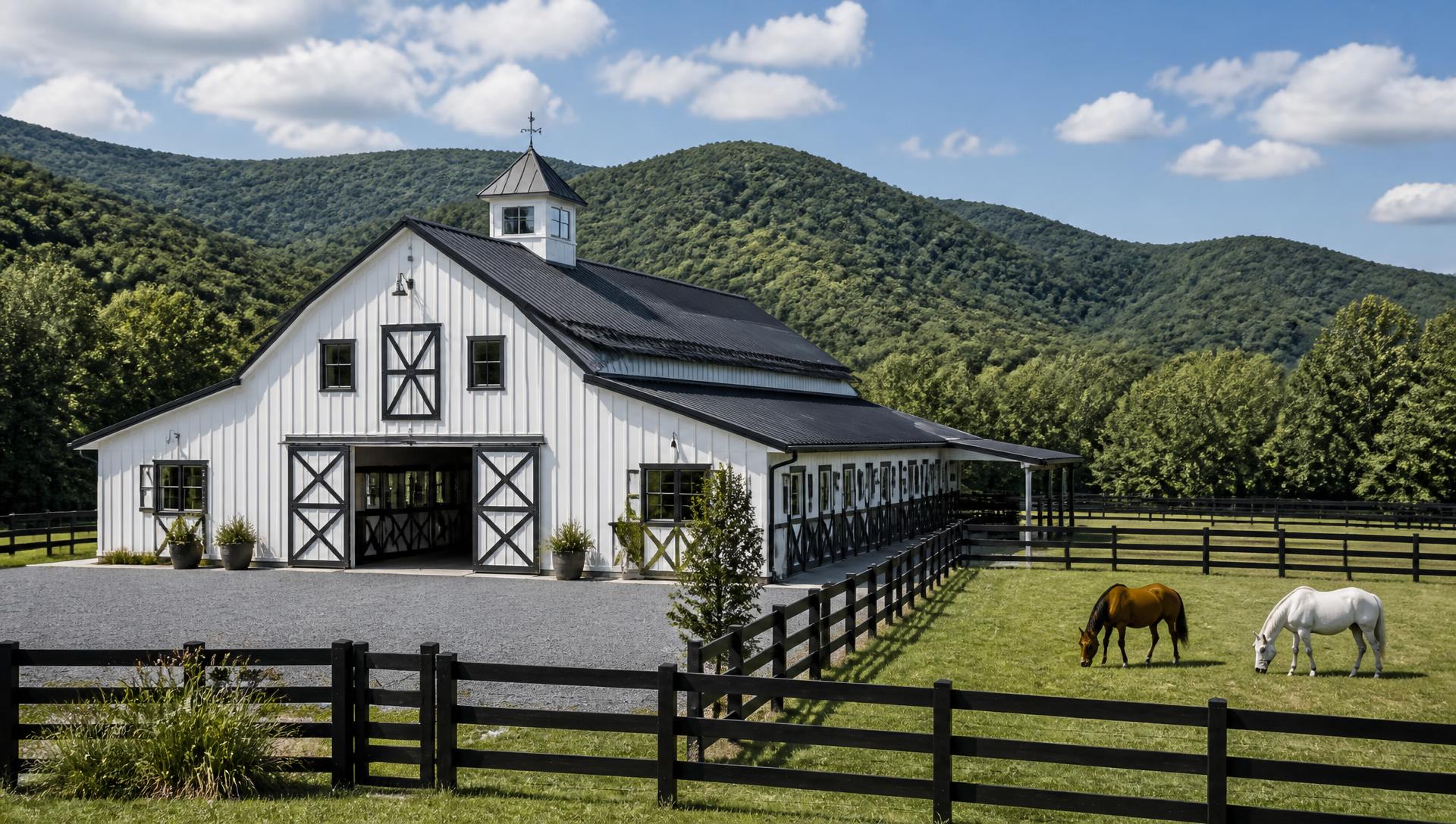
From loafing sheds to cross-fenced rotational pasture, we build farm infrastructure suited to Union County's grazing operations. Barn pads get leveled and drained properly so mud season doesn't shut down access to stalls or hay storage.
Start your property projectEquestrian Property Development in North Georgia
Horse and Cattle Farm Infrastructure
Blairsville sits in a broad mountain valley near 1,900 feet, ringed by the Blue Ridge, Brasstown, and Track Rock ranges. That elevation gives owners cooler summers and long views, but it also means most tracts here are a patchwork of flat bottomland along the Nottely River and steep hillside pasture that needs real engineering before it will hold a driveway or a barn.
A horse property is a workflow before it is a build. Where you park the trailer, how far you walk with a wheelbarrow, whether the gate opens uphill in mud — those decisions get locked in the day the barn pad is cut. We lay out the whole operation first.
Full Equestrian serviceWhat we see locally
- Barns placed for the view instead of for daily chores and drainage
- Paddocks that turn to mud at every gate and water trough
- Arenas built on ground that never fully drains
- No safe route for trailers, hay deliveries or the farrier
Scope of work
How the work runs on a Blairsville property
Whole-farm layout
Barn, paddocks, turnout, arena, hay storage, manure management and trailer access mapped as one circulation plan.
Barn & arena site work
Compacted pads, base preparation, perimeter drainage and finished grades built for the footing and structure you've chosen.
Paddock & gate drainage
High-traffic pads, geotextile and stone at gates and troughs, and surface grading that keeps turnout usable through winter.
Fencing & cross-fencing
Board, no-climb, pipe and electric layouts with rotation in mind — straight lines, square corners, gates where you actually walk.
A farm that is quicker to work every single morning, and dry enough to use in February.
Local conditions
What Blairsville land does differently
Buying LandWhat to Check Before You Buy North Georgia AcreageTVA Shoreline Rules at Nottely Lake
Any grading, dock, or vegetation work near the Nottely Lake shoreline falls under TVA's Shoreline Management Initiative. We handle the permit application alongside county requirements so lakefront clearing and access roads stay compliant.
Rock Close to the Surface
Hillside lots above the valley floor often hit granite and schist within a few feet of grade. We test-dig before quoting driveways or foundations so owners aren't surprised by blasting or rock-hammer costs mid-project.
Union County Land Disturbance Permits
Union County requires a land disturbance permit for grading beyond a small threshold, with erosion control plans reviewed before work starts. We prepare the plan set and manage inspections through final stabilization.
Cattle Fencing on Sloped Pasture
Perimeter and cross-fencing on the valley's rolling pasture has to account for washouts at low crossings and gate placement that keeps herds off saturated ground. We design fence lines around the land's drainage, not just the property lines.
Questions
Blairsville FAQs
Do I need a TVA permit if my land touches Nottely Lake?
If you plan to grade, clear vegetation, or build a dock within TVA's shoreline management boundary, yes. This is separate from Union County's land disturbance permit, and both need to be in place before work starts. We handle the applications for clients as part of site planning.
How much rock should I expect on a Blairsville hillside lot?
It varies block by block. Bottomland near the Nottely River is usually workable soil, but hillside lots above it often hit granite or schist within a few feet of surface. We recommend a test dig before finalizing a driveway or foundation budget.
What triggers a Union County land disturbance permit?
Grading beyond the county's disturbance threshold, work near streams, or any project affecting more than a set acreage requires a permit and an erosion control plan. Most driveway and homesite projects on raw acreage will need one; we prepare the plan and manage inspections.
Can you fence pasture that includes steep grade changes?
Yes. We route fence lines along natural contour where possible and reinforce corner and gate posts on slope transitions, since those points take the most stress from soil movement and runoff.
How long does driveway construction take on a mountain lot?
A typical 500-800 foot gravel driveway with culverts takes one to two weeks depending on rock encountered and weather. Steep or long approaches with multiple drainage crossings can run three to four weeks.
Do you work on properties near Track Rock Gap or the Brasstown range?
Yes, we serve all of Union County including the more remote tracts near Track Rock Gap and the Brasstown Bald foothills. Access and utility distance are the main planning factors on those sites.
Keep exploring
Start here
Start your property project
Send us the property details and we'll tell you what equestrian work your site in Blairsville actually needs.