
Dahlonega, Georgia
Land Development in Dahlonega, Georgia
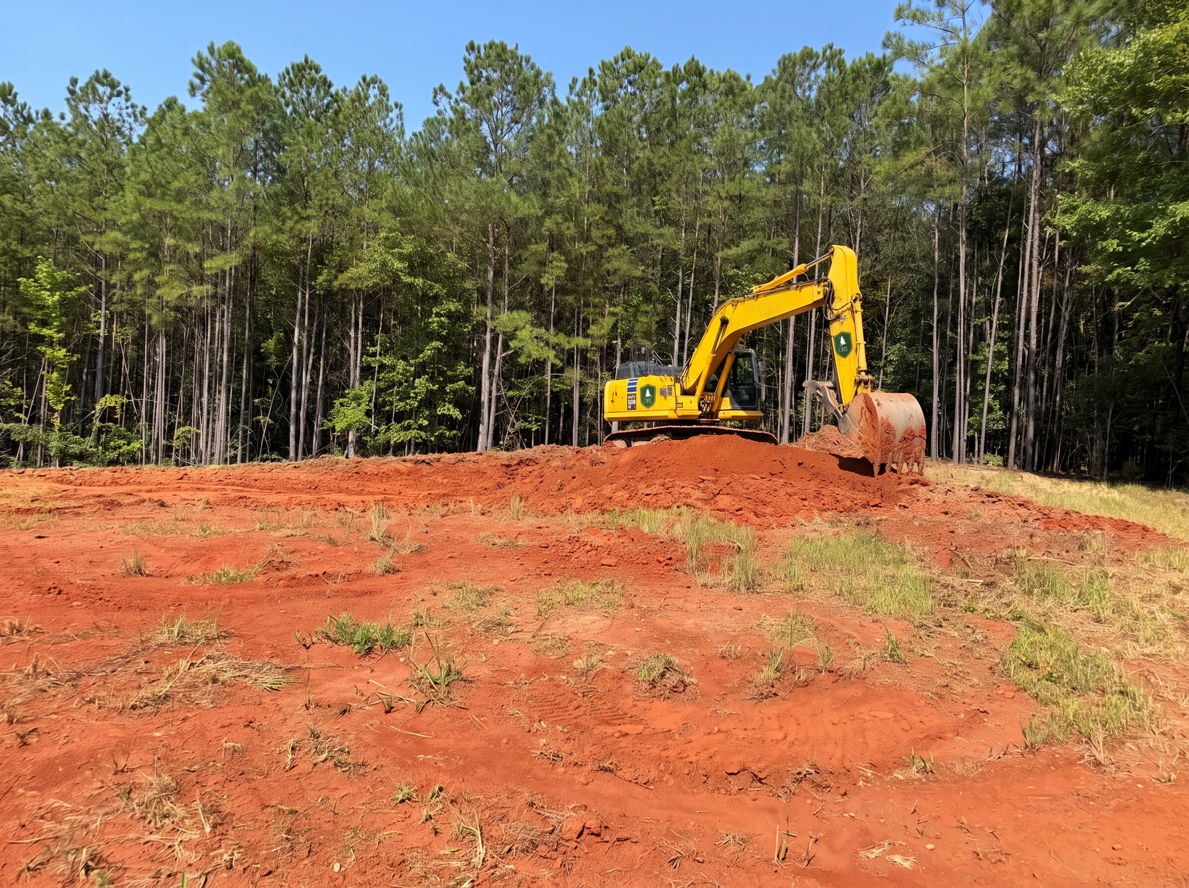
We selectively clear ridge and hillside tracts to preserve view corridors and mature hardwoods while opening enough ground for a home site, driveway and any vineyard or orchard planting the owner has planned.
Start your property projectLand Development & Site Work in North Georgia
Ridge and Vineyard-Lot Clearing
Dahlonega's history as gold country left behind soil that's often thin, rocky and full of old mine tailings in unexpected places. Combine that with the ridgelines running toward Yahoola Creek and Turkey Mountain, and site prep here takes more investigation than a typical Piedmont lot.
Most acreage problems are decided in the first week of work. Where the drive enters, where water leaves, where the pad sits — get those three right and everything built afterward is easier and cheaper. We plan the whole property first, then move dirt.
Full Land Development serviceWhat we see locally
- Building pads cut before anyone studied where water goes
- Driveways routed on the steepest line instead of the smartest one
- Clearing that removes the trees you actually wanted to keep
- Utilities trenched across the future barn site
Scope of work
How the work runs on a Dahlonega property
Site evaluation & clearing
Walking the property, reading topography and soils, and selective clearing that opens views and usable ground without stripping the land bare.
Grading & building pads
Cut-and-fill balanced on site, compacted pads for homes, barns and shops, and finished grades that shed water away from every structure.
Access & utility corridors
Driveway alignment, culverts and stream crossings, plus utility routing planned so future construction never has to undo it.
Pasture & field restoration
Rough grading, topsoil placement, seeding and erosion control that turns cleared ground into stable, mowable pasture.
A site that drains, drives and builds the way you pictured it — with a sequence you can stage over time instead of all at once.
Local conditions
What Dahlonega land does differently
Buying LandWhat to Check Before You Buy North Georgia AcreageOld Mine Workings and Tailings
Some Lumpkin County parcels sit over old gold mining shafts, adits or tailings piles that aren't obvious from the surface. We walk sites carefully and, where history suggests it, recommend geotechnical review before committing to a pad location.
Steep Ridge Grades
Vineyard-style ridge lots often carry 15 to 30 percent slopes. Driveways need switchbacks or extended runs to stay under safe grade limits, which increases both design time and construction cost compared to flat-lot work.
Thin, Rocky Topsoil
Gold-belt soils are frequently shallow over decomposed granite. Septic systems, foundations and even fence post holes can hit rock faster than owners expect, so we scope excavation with that in mind rather than assuming standard depths.
Yahoola Creek and Chestatee Watershed Buffers
Parcels near these waterways carry state buffer requirements that limit clearing within a set distance of the bank. We flag these lines during the initial site walk so the design respects them from the start.
Questions
Dahlonega FAQs
Do old mine workings affect where I can build?
They can. Some Lumpkin County parcels have documented shafts or tailings. We review available historical records and, when there's reason for concern, recommend a geotechnical survey before locating a foundation or driveway.
What slope triggers extra permitting in Dahlonega?
Lumpkin County generally applies added erosion and sediment control scrutiny above roughly 25 percent grade. We calculate slope during the site walk so you know early whether your lot falls into that category.
Can you build a driveway on a steep ridge lot?
Yes, this is a large share of our Dahlonega work. We design switchbacks or extended-run driveways with proper base depth and drainage so they stay stable through winter ice and summer storms.
How does the thin topsoil here affect building costs?
Shallow soil over granite can mean more excavation time and equipment for foundations, septic fields and post holes. We factor this into estimates once we've walked the specific site rather than quoting blind.
Are there buffer requirements near Yahoola Creek?
Yes, state stream buffers apply along Yahoola Creek and its tributaries. We identify these buffers before design so grading and clearing plans stay compliant from the outset.
Can you help lay out a small vineyard alongside a home build?
We do this regularly. We coordinate row orientation, access roads and drainage with the home site plan so the vineyard and residence work as one cohesive property rather than competing projects.
Keep exploring
Start here
Start your property project
Send us the property details and we'll tell you what land development work your site in Dahlonega actually needs.